Note: There really is a group pushing “Parmer!” as our seventh third downtown or some shit.
Anyways, here’s the first part of the trip1
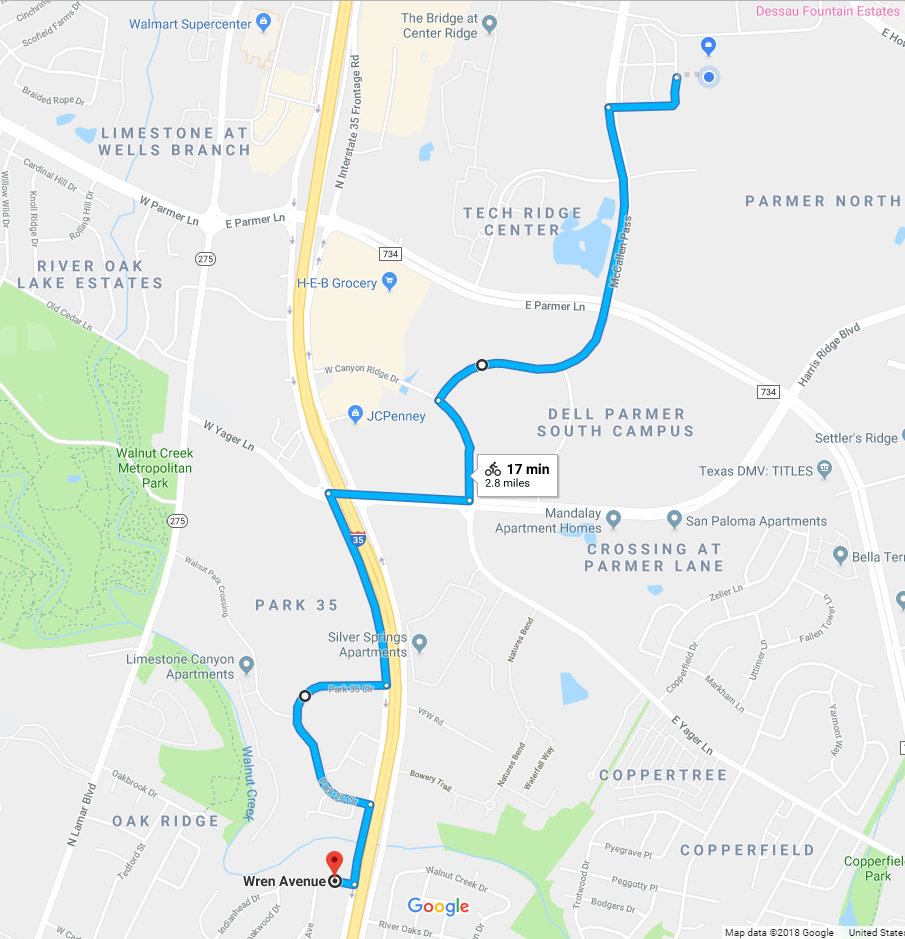
First few parts of this route are standard Suburban Hellscape. Exit huge parking lot, turn onto road with 60 mph design speed (but at least a relatively OK right lane). Wait on left edge of right lane at very long light at Parmer while beckoning scared suburbanites to turn right on red past you. Continue across on briefly civilized BUT STILL HOT AND WINDY 4-then-2 lane road past a long-abandoned subsidized housing project (not seen in StreetView but trust me it looks like The Walking Dead), then turn on the two oddly disconnected bike lanes2, and then OOPS I-35 WHAT THE HELL DO WE DO NOW?
Short explainer: Yes, you have to go on I-35 here. The other ‘options’ are: Go north to Parmer and then navigate the I-35 and Lamar intersections and then ride all the way to like Metric, and then go down Metric a long ways. This portion of Parmer is ugly and hugely congested and will kill you (and the portion of Parmer east of I-35 is even worse than those pictures above).
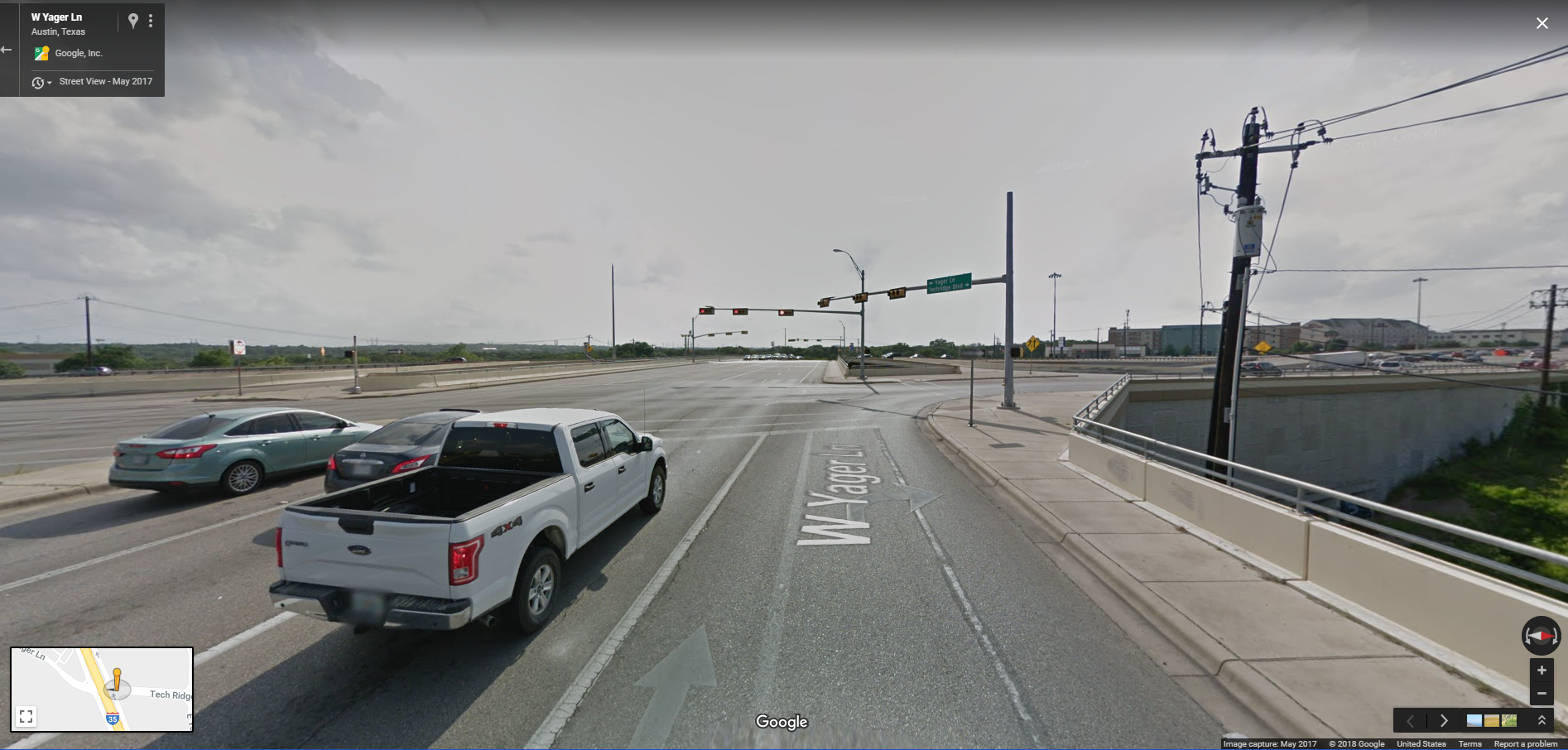
Or, you can take Yager to the dead-end at Lamar, then ride in the (not wide) right lane south past Walnut Creek, and then up a hill where you’ll be going 2 mph while cars pass you at 60. Again, no shoulder. No sidewalk. No nothing. Just likely death, even by my standards.
(Alternative exists which sort of combines those two – go on Lamar for a shorter time, then cut through Walnut Creek Park to eventually get to Metric. I’ll do this some day just to see what it’s like but I suspect it adds about 30 minutes to the trip).
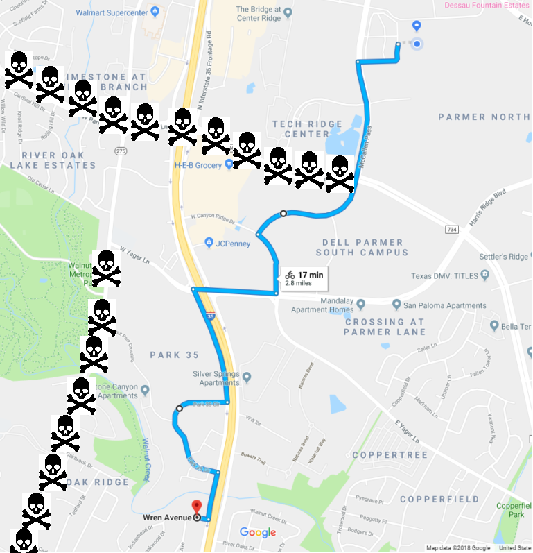
Now I have a history of being up for almost anything to avoid riding on a sidewalk. Hell, I rode a portion of the 183 frontage road to work and another portion home from work on various commutes for years. But this portion of I-35 is what finally broke me. The recommendation above from El Googs aside, I rode the sidewalk from the corner of Tech Ridge/Yager to a parking lot I could bail through, and then again for a short stretch, only to go out of my way on Park-35 Circle, then again on the sidewalk to cross Walnut Creek, and then, THEN, FINALLY, off the frontage and into an oddly disconnected but sort of nice neighborhood. So basically those stretches above that show the route on the I-35 frontage are about 1/2 parking lot (most of the first bit) and 1/2 sidewalk (all of the part after Park-35 circle and a little bit before it).
All of that done against a sticky sweaty headwind (at least the 2nd day).
If this was the beginning of YOUR bike commute and you didn’t have a history of being aggressively stubborn, you’d probably have quit. But then you hit the corner of Wren and the next street and you get the feeling that things can only go up from here… 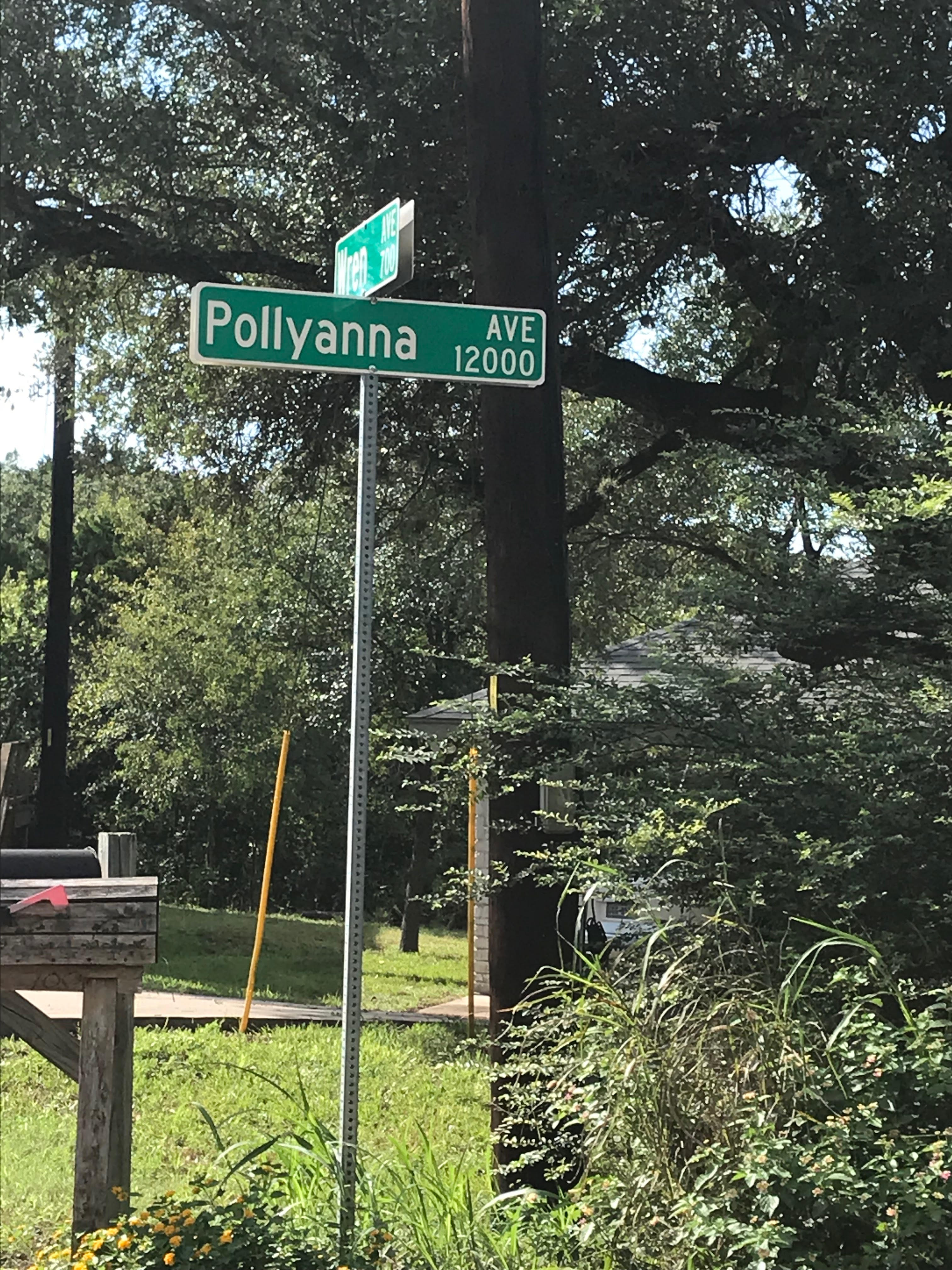
This part of the trip is about 1/4 of the miles and about 90% of the stress of the entire commute. Next up: Getting from the bad stuff to the good stuff, with a couple of hiccups.
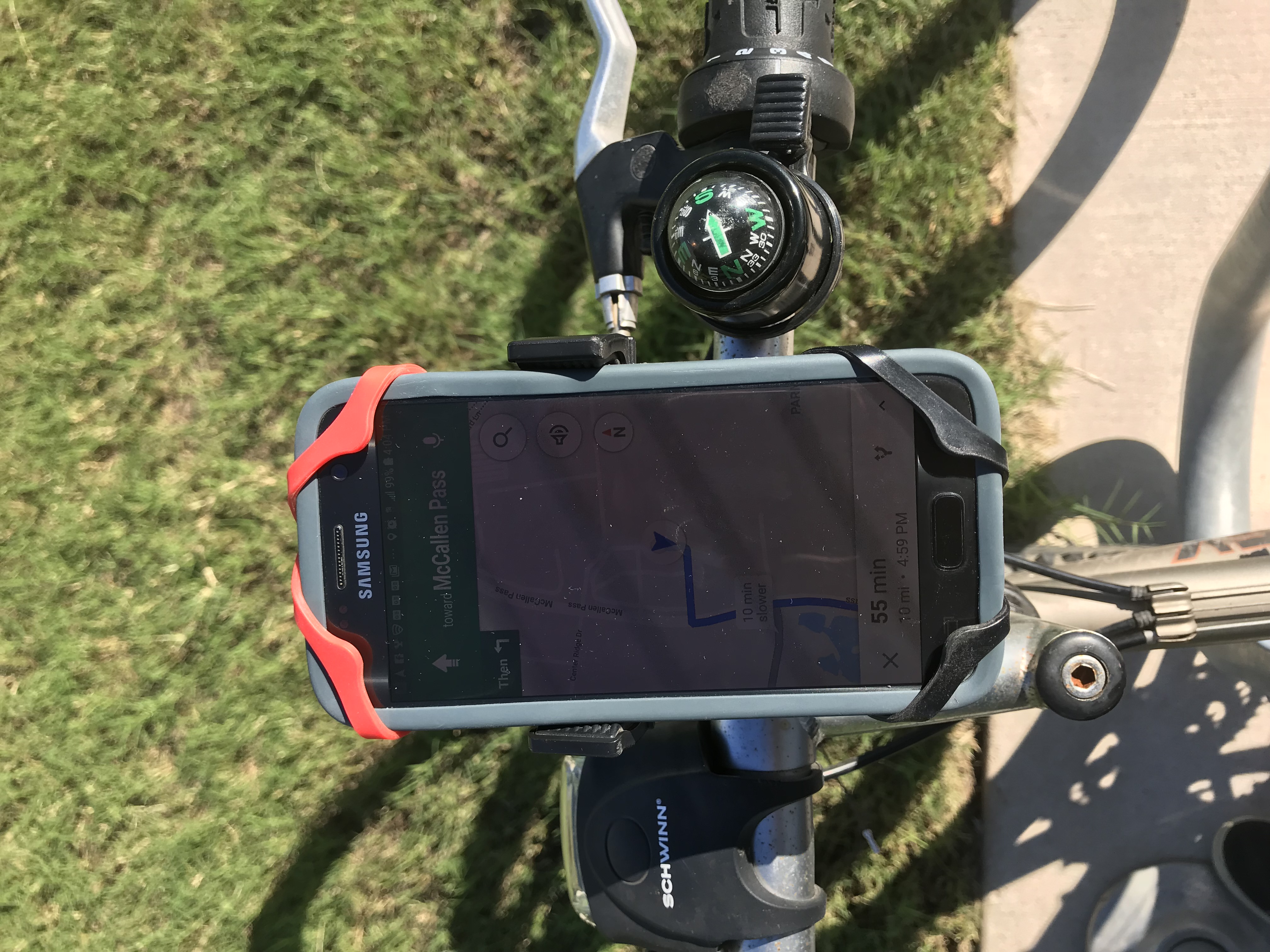
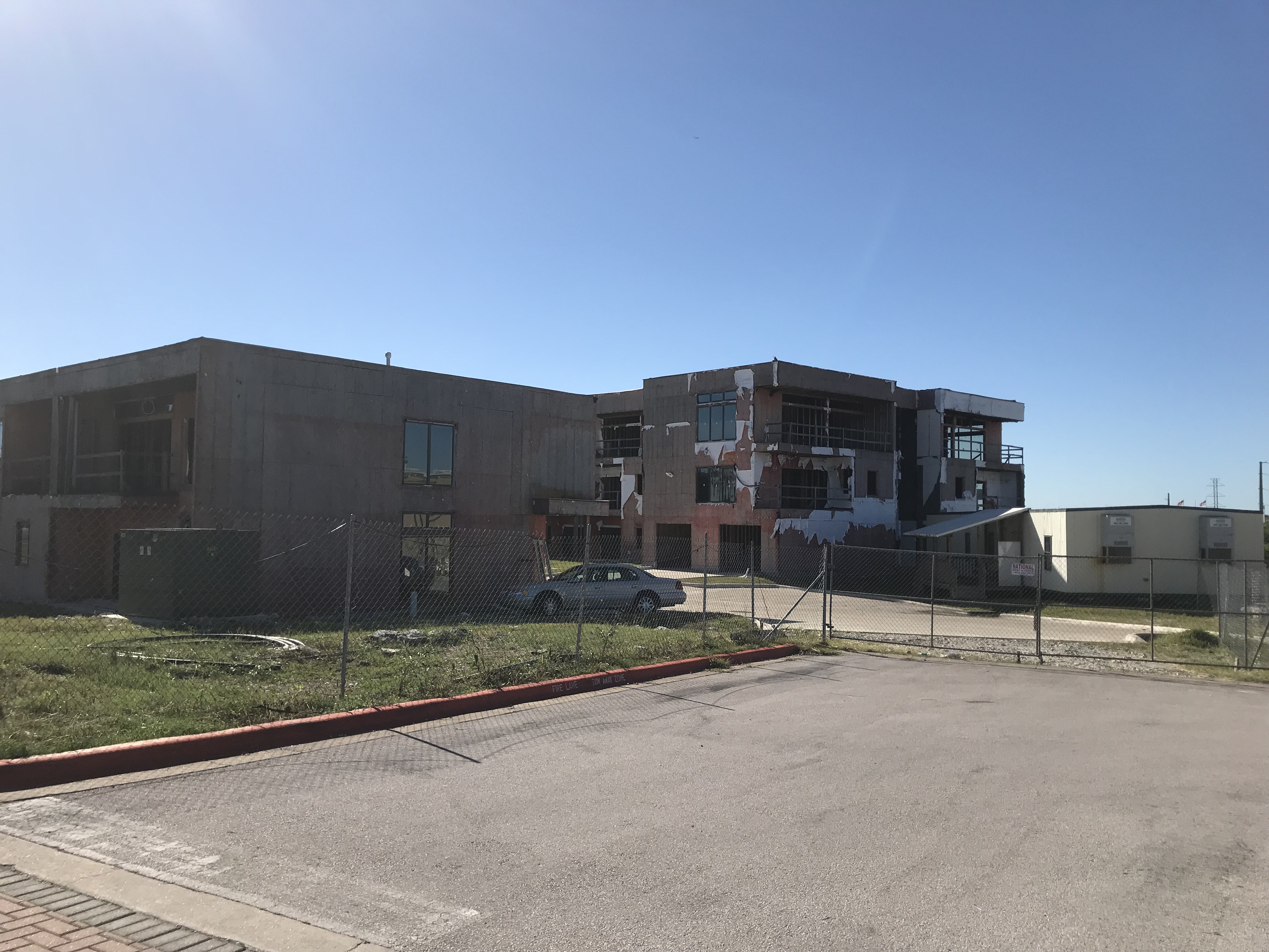
Here’s some images, taken later on October 10th (on the 3rd trip home in which I took pictures for both the 1st and 2nd portions of this route):


I’ve dragged the route to modify to closer to what I actually did; the recommended route from Google is slightly worse than this, even, if you can imagine, but is slightly less wiggly ↩
useless because they don’t go to anything but the I-35 frontage road; remember that Yager dead-ends at Lamar which doesn’t even have a shoulder OR a sidewalk ↩