There’s going to be a quick followup to this post, stay tuned.
Third installment in the 2024 Bike Facility Roast N Toast series.
Location: Parallel to Mopac, on the northbound side, crossing Barton Creek and then Loop 360 (if going northbound).
Implemented: 2017 (contemporaneous governmental post)
Type: Separated path, various treatments, mostly completely separated in bridge or sidewalk form
Context: Gap filling (replaced a narrow shoulder on NB Mopac that was eliminated during a restriping)
Prediction when installed: Probably good?
Experience as a cyclist: (See below).
Orientation map, stolen from that contemperaneous story above in case it bitrots:

This facility was controversial when it was being proposed, built, and even when it opened. In a rare miss, Ben Wear constantly shat all over it when it didn’t immediately attract a ton of traffic.
I rode this as part of a ride specifically to check this out (as well as the SH45 bike path, in a future post). The rough outline of that ride (a preparation for my long round-trip to San Marcos a few days later) was basically “head far south, get on 1626, take the SH45 bike path its whole length; go up through Circle C; back east on Southwest Parkway; then bushwhack through the forest on a hard dirt trail to Gaines Ranch, then this picture, then up a combination of sidewalk and frontage road and ill-advised hilly detours to Zilker, then back home”.
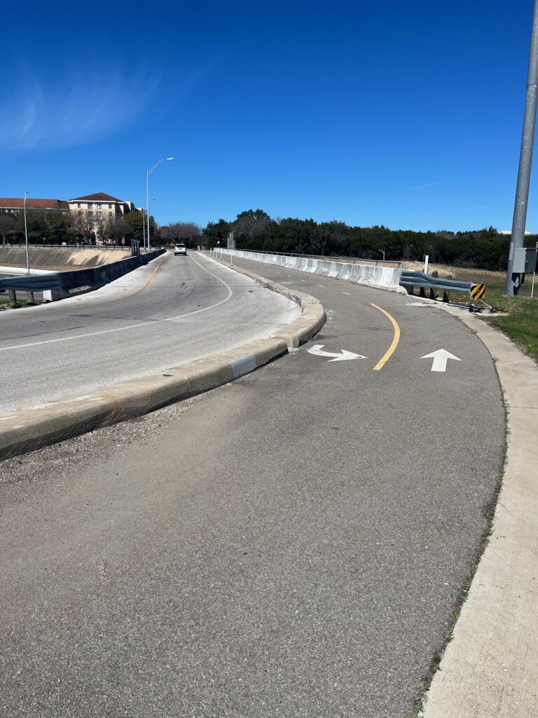
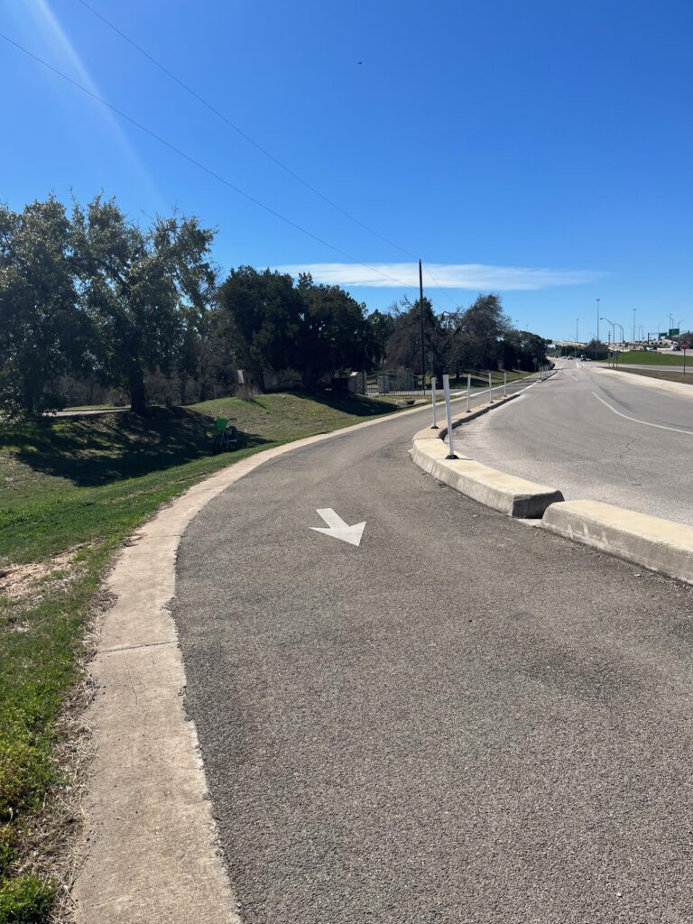
So, from south to north: Getting on at the Gaines Ranch bridge – this is a rare example of an on-street 2-way facility I have no real problems with; because it’s running against a bridge (no curb cuts); there’s almost no car traffic next to it; and it serves as a small gap fixer. It’s useful for people from Travis Country to get to the bridge(s) further up, as it was for me. When you exit this, you start on what most people would consider the actual Barton Creek bridge, although at first it’s a lot of downhill switchbacks and whatnot.


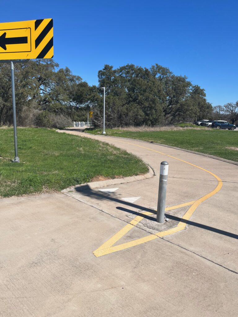
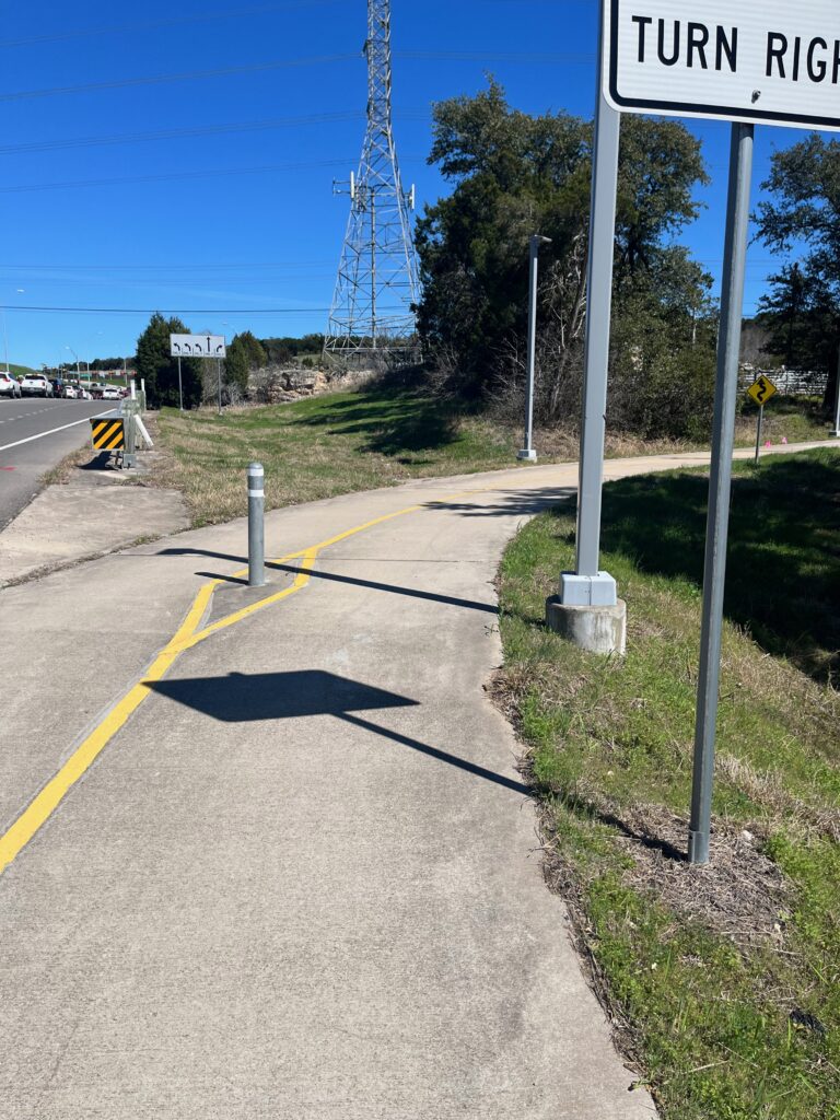
The actual bridge: Nice! Not too noisy from Mopac, good views! I passed several people out on recreational walks or jogs (this was the middle of a workday). On the north side of the bridge, you get dumped into an existing bike/pedestrian lane separated from the Mopac frontage road by some cement blocks (IIRC, I didn’t remember to take a picture). Then, when you get close to the 360 light, another separate path begins:


And at this point, you go up another hill to the level of the bridge over 360, which is less remarkable and less nice but still pretty good. I forgot to take a picture of it, apparently. Then you get dumped on the Mopac frontage road sidewalk, which is less good. And on this day, I was fighting a major headwind so I ended up doing what I rarely do and slumming it on the sidewalk.
Overall, though, this one is a major improvement over previous conditions. And note, naysayers, that the previous condition was a paint-only shoulder (not a very wide one, more like a painted bike lane). If you were tempted to think I’d never find a separated facility that would beat a painted bike lane, you were wrong; here’s the first one (and spoiler alert: not even the last one!)
It fills a major gap for commuting and recreational bicyclists heading into downtown from southwest Austin. It does so without forcing adults to ride at child-like speeds (which is why you don’t see pictures on the bridge itself; I was going too fast and didn’t want to stop!). It is an unmitigated good thing, but please check out the followup post.
Comfort/pleasantness rating for adults: Ranges from 0 at worst to 5 in the no-curb-cut part
Perceived safety for AAA: 10
Actual safety for adult-speed cycling: 10
Actual safety for child-speed cycling: 10
How Right Was M1EK: 8 (when I saw it being built, I thought it might be nice; it’s nicer than I thought it would be).
Encourages GOOD behavior: 8 (0 is the worse end; this facility needs a better connecting facility on the north end to score higher, but all in all it’s better than many gap-fillers in this regard).