Here’s a summary chart showing the data from Capital Metro from October 2011; showing how many people board from each station in the AM peak, discussed yesterday in more detail.
Why break it up like this? Because as I mentioned yesterday, it should be pretty obvious that the 3 park-and-rides aren’t attracting a bunch of people from Austin itself. Nonsense, you say? Lakeline is in the city limits, you say? Let’s look at the map.
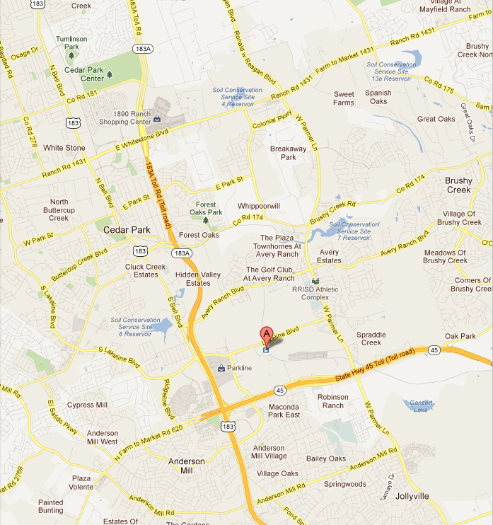
Here’s Lakeline Station.
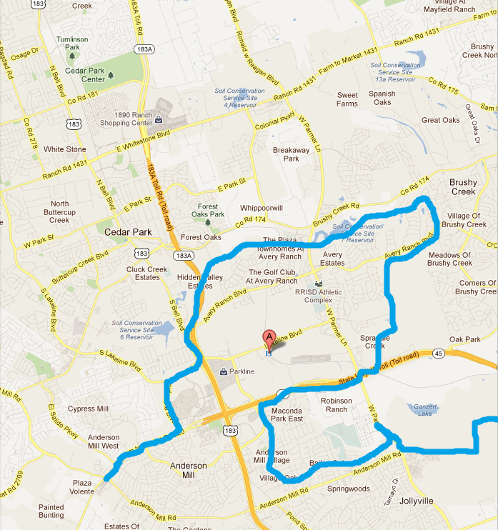
Here’s Lakeline Station after I roughly draw the line representing the Austin city limits (by hand, so please excuse my poor skills). Map updated on 2/9/2012 to include a small section I inadvertently left out in my first poor attempt at freehand.
And here is the same image with an arrow helpfully representing the approximate direction all those transit passengers are going to work (note: Paint won’t let me go off straight vertical or horizontal; imagine it about 15 degrees to the southeast).
Now, here’s the thing: There are a few people inside that little part of Austin sticking up there who might be taking the Red Line. But it ought to be incredibly obvious based on nothing more than this picture (if it wasn’t just from words before) that most of the passengers getting on the train at Lakeline probably came from outside the city limits of Austin – because most people living inside the city limits of Austin would have to backtrack quite a ways to get to the train station.
Howard is the same – except it’s people from Pflugerville and Round Rock freeloading instead of Cedar Park. Any questions?


