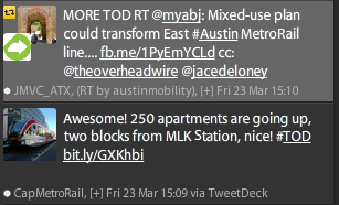
I know you guys know better than this. And I know you’re just repeating what the developer says, but you know better, 
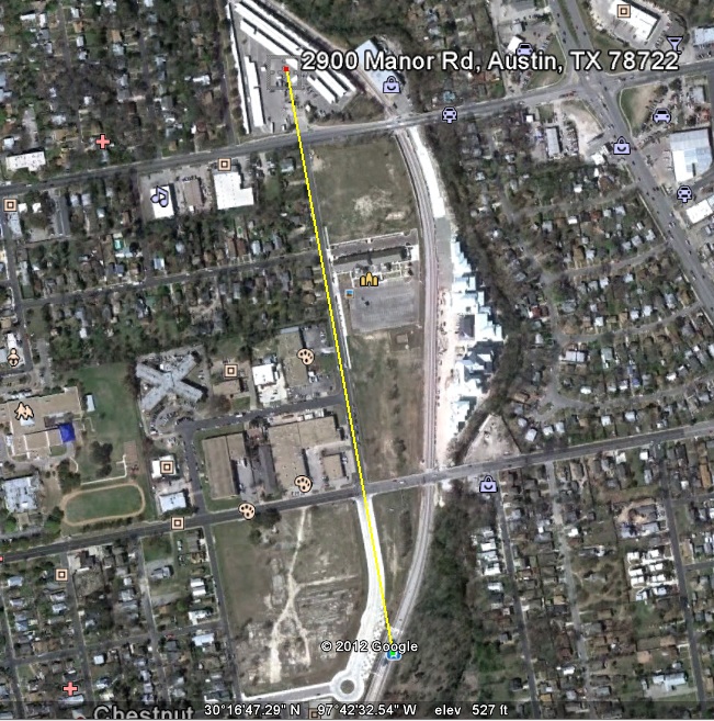
Here is a picture from Google Earth showing the straight-line path from the 2900 Manor Road “TOD” to the MLK station. Google Earth shows this as 0.47 miles, which is not even in the same universe as “close enough to call this a transit-oriented development”. VTPI, who essentially invented the term, allows for walks of up to a half mile IF AND ONLY IF some necessary preconditions are met, which the Red Line does not even come close to meeting. Otherwise? Quarter-mile – and that’s for a large TOD area. If you want to call a small development a TOD, it needs to be very close to the transit.
It’s bad enough to count the M Station as a TOD – but at least it’s close enough to be a reasonable distance to walk, although still much further than the prospective passenger would walk to their car in the free surface parking lot. It’s bad enough to count Midtown Commons as a TOD, given that it’s less dense than the Triangle, which has no rail transit at all.
But this? This is enough. Stop it. Stop it now.
Your pal,
M1EK

